setup
COMPONENTS
INTEGRATIONS
FAQ
How to Add Latitude and Longitude to Your Framer CMS
The Superfields Filter Map plots each item by its coordinates, so every item in your collection needs a latitude and longitude. Framer doesn't generate these for you, but adding them is quick. This guide shows you how.
You'll do this once, before setting up the map. Once your items have coordinates, you point the Filter Map at them. See Filter Map for that step.
Step 1: Add two fields to your collection
In your Framer CMS, open the collection you're mapping (e.g. your listings or stores) and add two fields:
Latitude
Longitude
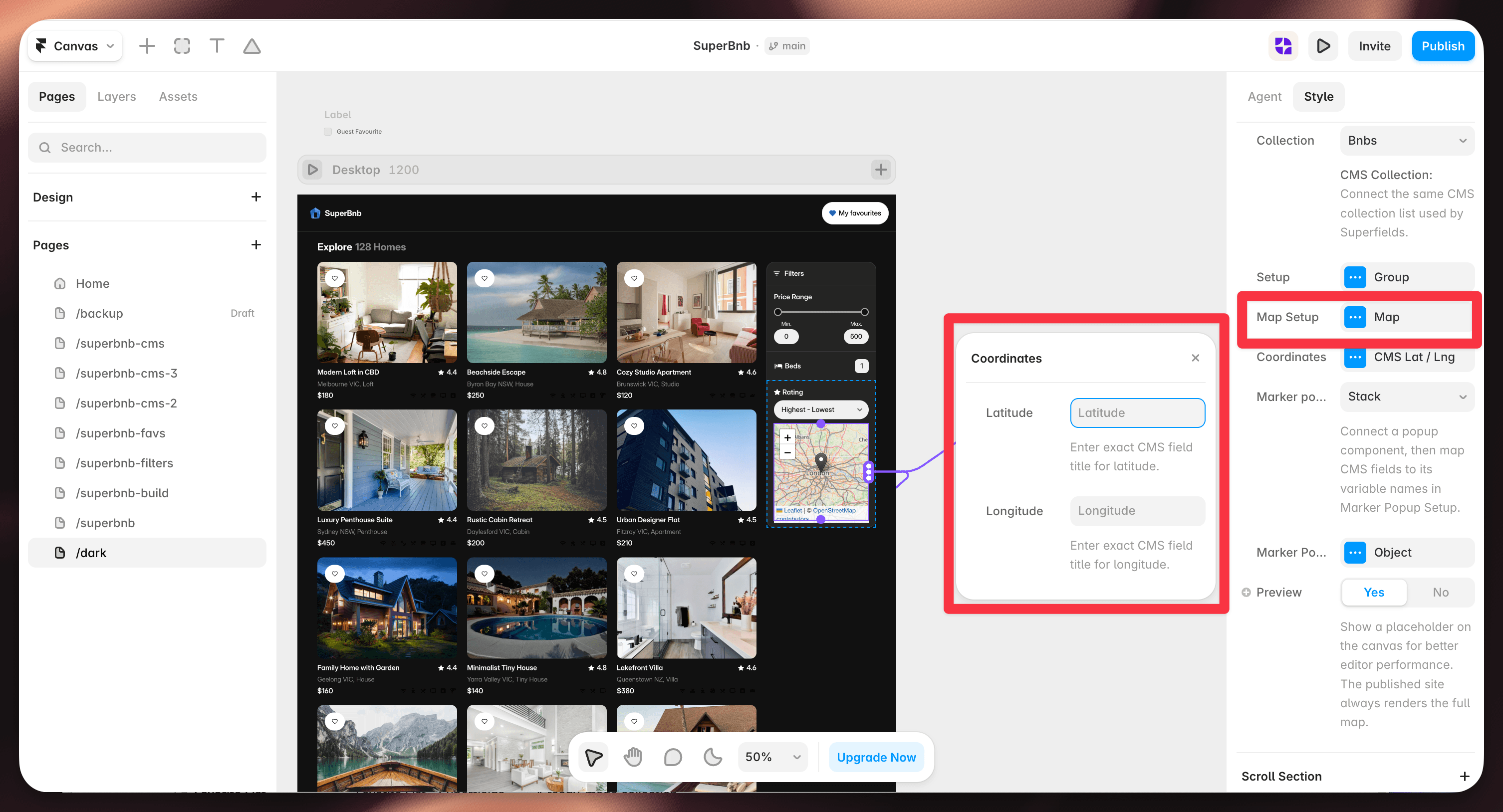
A Plain text or Number field is fine for both. Note the exact field names - you'll enter them in the Filter Map's Coordinates setup.
Step 2: Get the coordinates
How you do this depends on how many items you have.
A few items - grab them by hand
latlong.net - type an address and it gives you the latitude and longitude. Free, no sign-up.
Google Maps - right-click the exact spot on the map, and the coordinates appear at the top of the menu. Click them to copy.
Other free options: gps-coordinates.net and findlatlong.com.
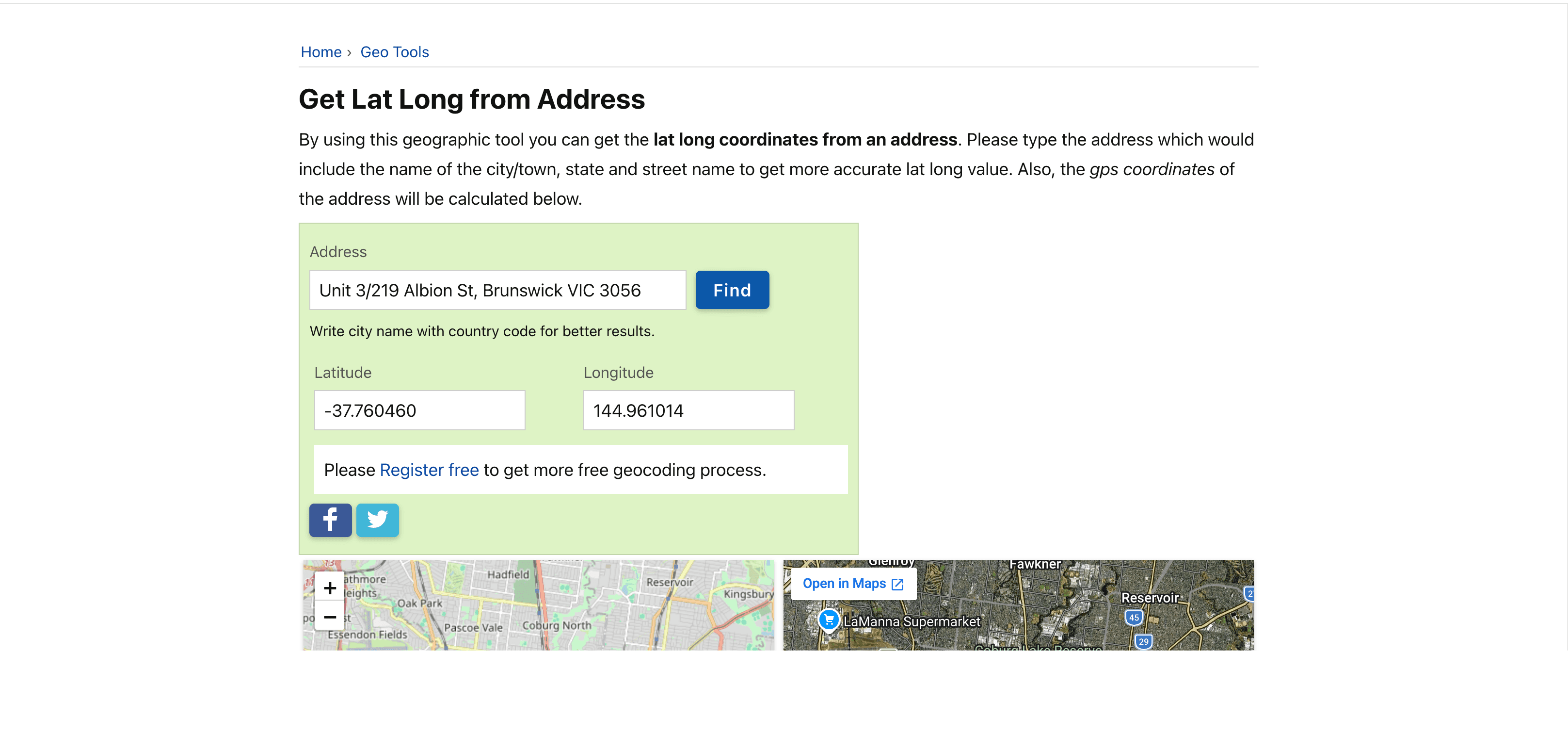
Paste the two numbers into the Latitude and Longitude fields for that item.
Lots of items - geocode them in bulk
If you've got dozens or hundreds of items, don't do it one by one. Export your data to a spreadsheet, run it through a bulk geocoder, then paste the coordinates back into your CMS:
Geocodio - upload a CSV or Excel file of addresses and get lat/long columns back. Free for up to 2,500 lookups a day (US, Canada, Mexico).
CSV2GEO - upload a spreadsheet and get coordinates for every row; handles large files.
Google Sheets add-ons like Geocode by Awesome Table or Geocode Finder - geocode straight inside a sheet.
Step 3: Point the Filter Map at your fields
With coordinates in your CMS, open your Filter Map and, under Coordinates (CMS Lat / Lng), select your Latitude and Longitude fields. Full walkthrough in Filter Map.
Tips
Use decimal format, like
-37.8140and144.9633, not degrees-minutes-seconds.Keep latitude and longitude in separate fields.
More decimal places means more precise pins - four or five is plenty for most sites.
And that's it - once your items have coordinates, the map does the rest.
RELATED DOCUMENTATION


